Service
Mapping
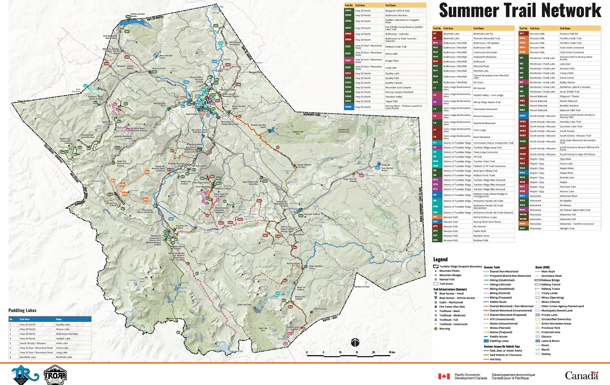
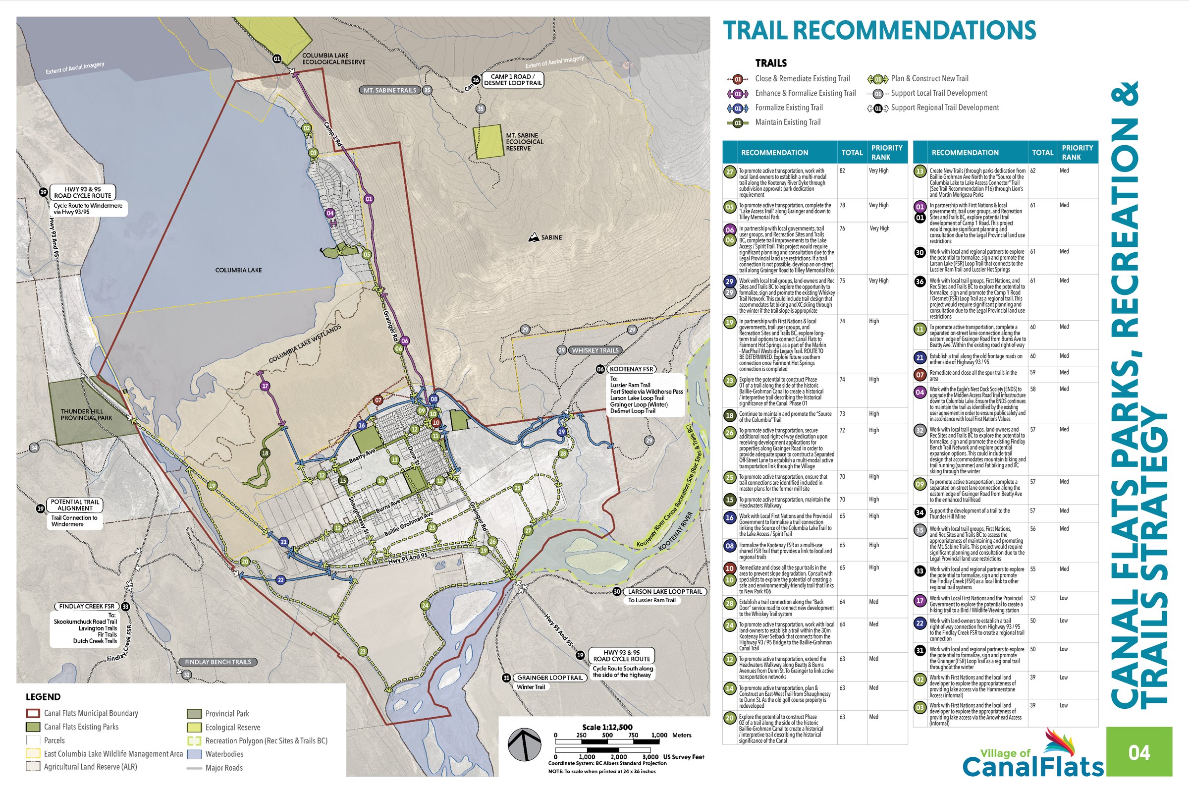
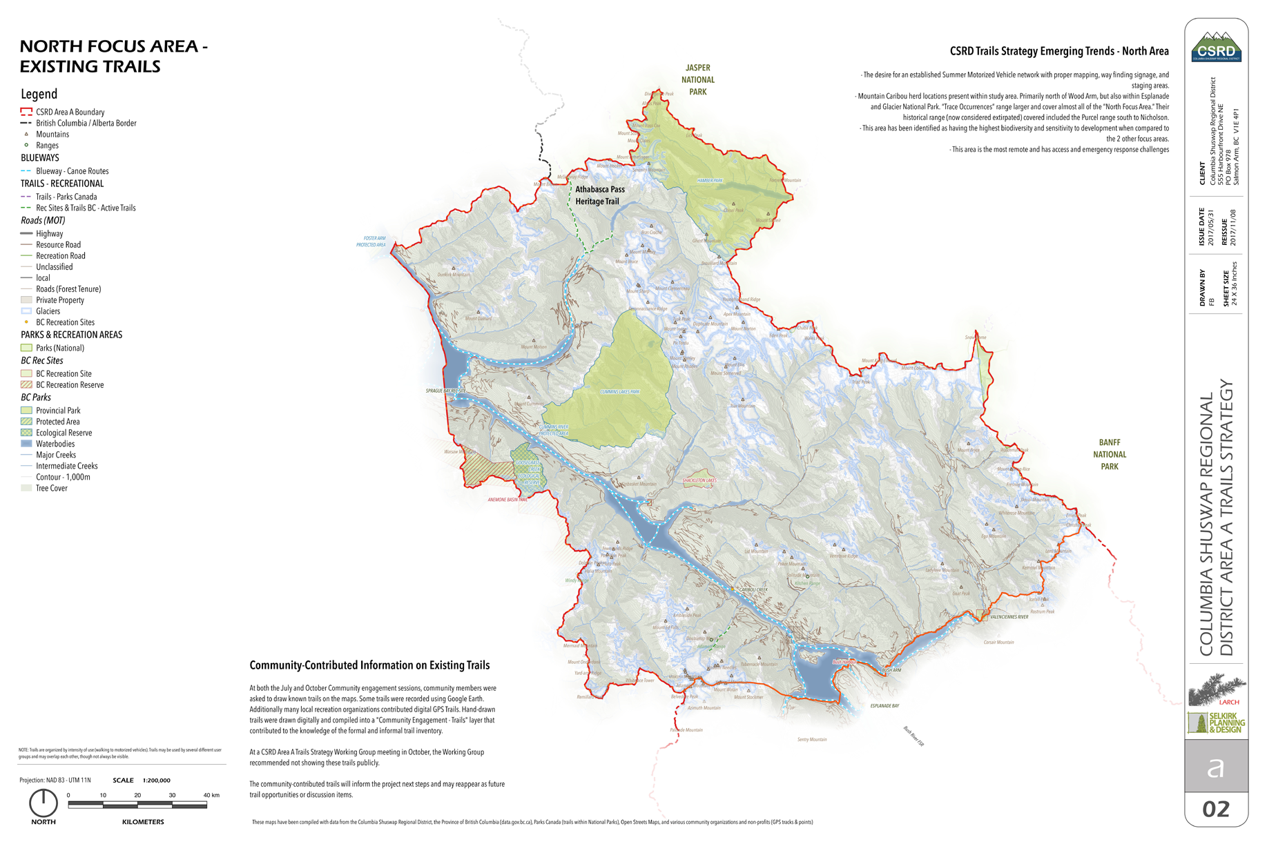
GIS-integrated mapping built for planning work, covering community evolution strategy, land use, constraints, infill capacity, and trail networks, prepared so that the maps and the policy stay in step.

Service
GIS-integrated mapping built for planning work, covering community evolution strategy, land use, constraints, infill capacity, and trail networks, prepared so that the maps and the policy stay in step.